Real-Time Sensor Monitoring for Flood Warning Systems
Flood-warning systems collect river level, rainfall, flow, and telemetry data in real time so authorities can identify rising-water trends and organize early response.
Engineering / Measurement Challenge
Rivers, reservoirs, pump gates, and low-lying areas need continuous level visibility. Real-time data helps the system judge how heavy rainfall, upstream inflow, and drainage capacity affect downstream areas.
Recommended Solution
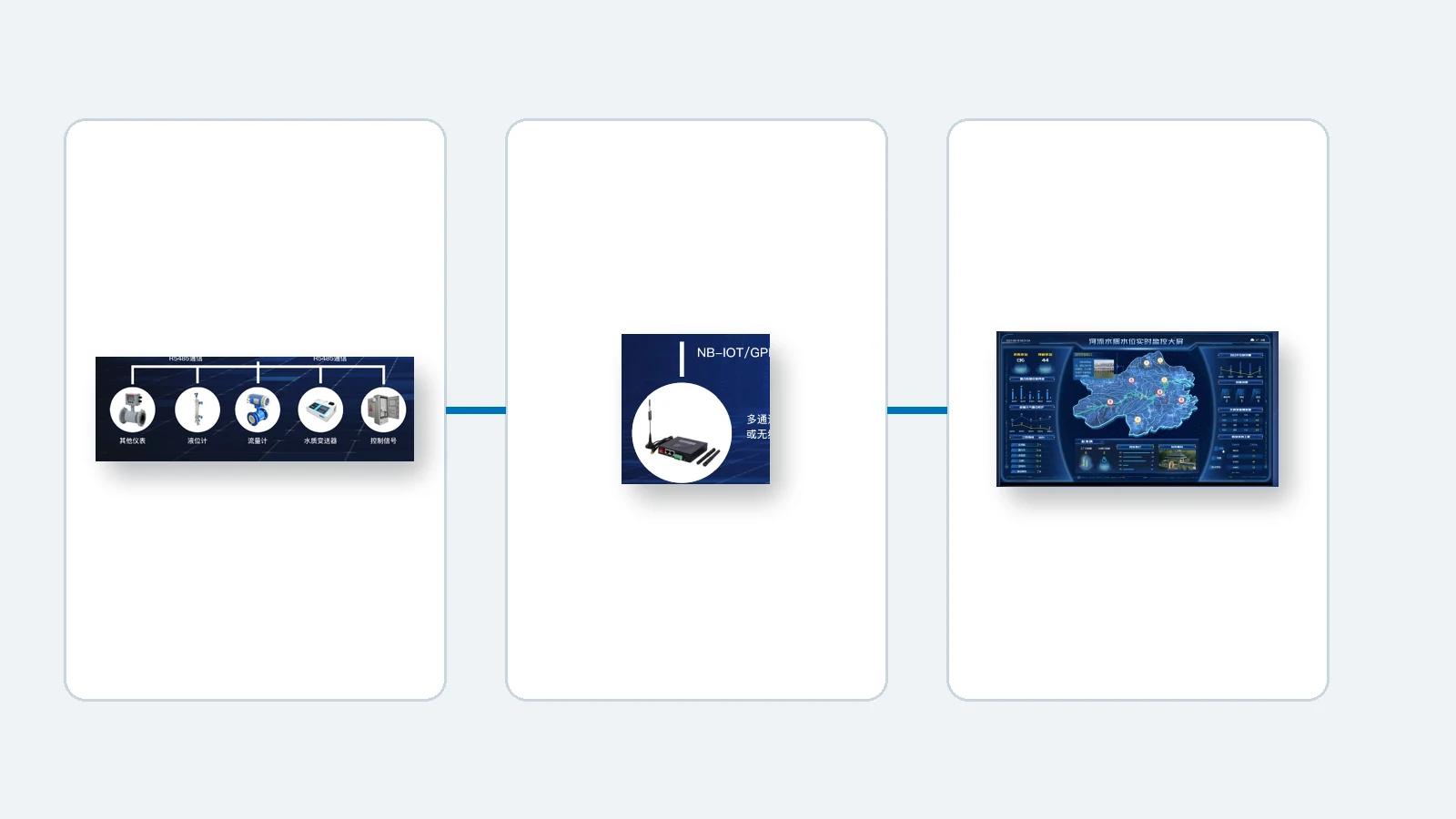
Submersible, ultrasonic, and radar level devices fit different installation conditions. Sensor data is uploaded through acquisition terminals to the monitoring platform, where thresholds, trends, and history support warning decisions.
- Submersible level measurement fits wells, tanks, and stable water bodies.
- Ultrasonic level measurement fits non-contact open-water surfaces.
- Radar level measurement fits complex weather and long-distance measurement.
Product Match
The LT90, LT120, and UL60 cover submersible, continuous, and non-contact level measurement needs for environmental monitoring, water conservancy, and emergency-warning projects.
Application Value
Continuous water-level and rainfall data shift response from post-event inspection to early judgment, helping authorities improve inspection efficiency, alarm accuracy, and emergency speed.